
Pinedale Parcel (YAN 3)
197.61 acre parcel in Navajo County, Arizona
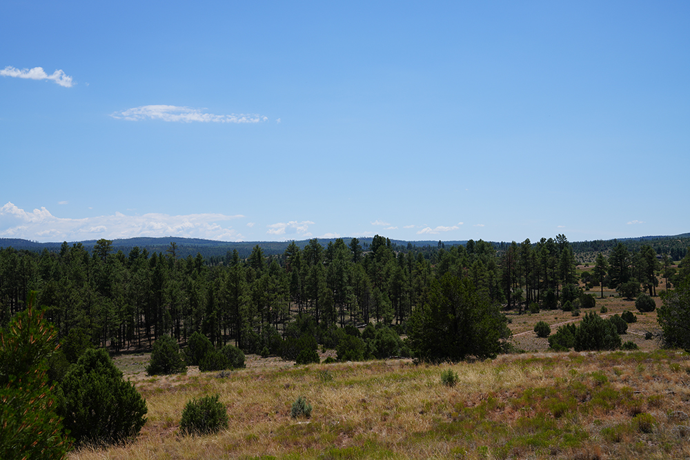
The Pinedale Parcel (Map) is located in the unincorporated community known as Pinedale, Arizona, north of State Route 260, about 16 miles northwest of Show Low, Arizona, and about 20 miles southeast of Overgaard, Arizona. It totals 197.61 acres, more or less, within Navajo County.
This parcel borders the 2.76 million-acre Apache-Sitgreaves National Forest on three sides. It’s located above the Mogollon Rim in Arizona’s high county, offering pleasant summer temperatures and cold winters.
Forest Road #129 runs along the property’s south side, providing access to the parcel. This coniferous forest land includes Ponderosa Pine, Pinon, and Gamble Oak trees and grasslands. It’s located in the heart of Arizona’s historic cattle ranching country. Settlers occupied the Pinedale area as early as the late 1870s, and this parcel was under private ownership before Arizona became a state.
Today, residential development borders the western side of this property as development inches closer to the forest. Electricity and telephone are available on, or near, the property and would make development feasible. Due to its location, in the absence of the Nation’s land exchange, the property’s most likely use is for a private residence or division into multiple lots if not preserved through the exchange. Lots with National Forest frontage typically sell for a premium.
This high-country forested land is in demand for full-time residents and desert dwellers from Phoenix, Yuma, Tucson, and others who build cabins and second homes to escape the scorching desert heat. It’s also a favorite of people moving from high-population and expensive states due to its relative affordability.
The Pinedale Parcel is located in Arizona Game and Fish Department Game Management Unit 3C . Wildlife in this unit includes black bear, elk, javelina, Merriam’s turkey, mountain lion, mule deer, white-tailed deer, band-tailed pigeon, dove, tree squirrel, and quail. Opening this land for public use through the land exchange will increase public recreational and hunting opportunities.
The Yavapai-Apache Nation invested in this property with the intent to offer it to the Forest Service as part of a Federal Land Exchange due to its natural beauty, wildlife, and border on the Forest. The Nation wishes to exchange this parcel rather than sell or develop it. This will benefit both the Nation and the public. Making it part of the national forest will protect it from development, helping wildlife and provide enhanced recreational values and access for the public.
Most importantly, as federal land, exchange of the Pinedale Parcel to the Forest service will reduce forest management issues and benefit the American public. Exchanging this parcel into ownership by the people of the United States is consistent with the Apache-Sitgreaves Forest Management Plan.
Note: The County Assessor may show a different acreage. However, the acreage in this discussion is taken from the Forest Service data.